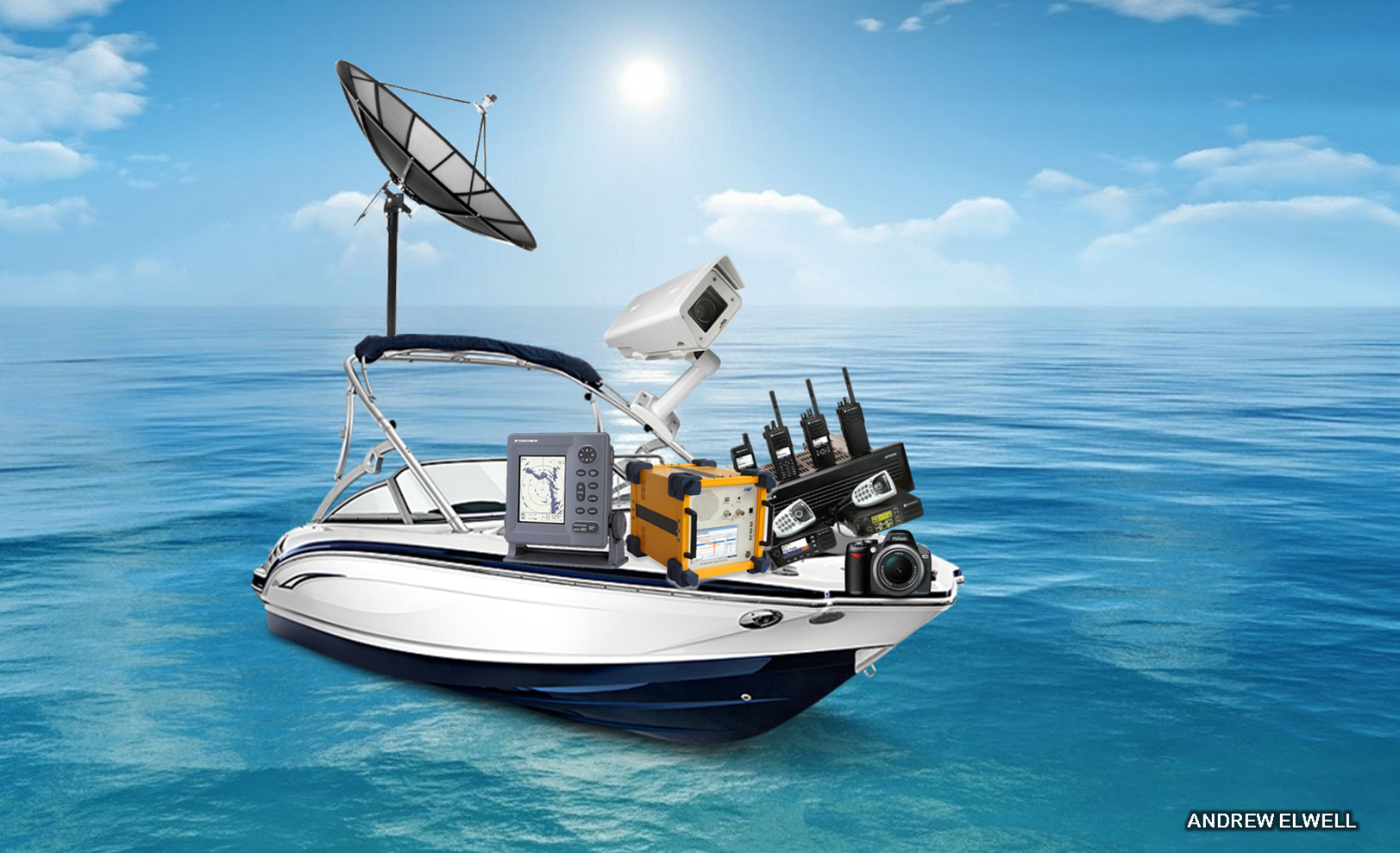
The technology used in maritime reconnaissance operations and coastal surveillance such as radar, communications and monitoring systems, RF equipment, datalinks and electro-optical sensors, is widely available but world events have recently made the acquisition of such equipment a necessity. Demand is finally catching up to supply.
MH370: Surveillance and intelligence
Following the search for MH370, and considering rising demand for surveillance systems for security and anti-piracy applications, Defence IQ takes a look a closer look at the technology available to Armed Forces and government agencies.
The strongest evidence of MH370’s location was drawn from data exchanges with an Inmarsat satellite, which indicated it landed in the Indian Ocean off Western Australia. The company has been at the forefront of airborne surveillance and intelligence innovations for decades. As an example, the global satellite heavyweight released Global Xpress this year, which is the first global Ka-band network that delivers secure, end-to-end wideband connectivity for seamless airborne, naval and land operations for governments and military end users. The technology represents a step-change in airborne intelligence, surveillance and reconnaissance capabilities and the company has already signed a Memorandum of Arrangement with the French military to use the network.
In August, Inmarsat demonstrated its intent to expand in Asia after opening its first office in China to capitalise on the telecoms and satellite opportunities that abound in the APAC region.
AGI, a US developer of commercial modelling and analysis software for the space, defence and intelligence communities, used its Systems Tool Kit (STK) software in the aftermath of MH370’s disappearance. The company said that the, “benefit of using modelling, simulation and analysis tools are to either turn up useful data on the aircraft’s position and/or help eliminate certain paths and areas.” The technology modelled the known radar and communications facilities along the planned path of the aircraft and analysed who could have seen the flight and when. It also plotted all ships in the area and created coverage grids of the search areas and performed coverage analysis using aircraft and ships.
Wider global demand for surveillance tech
Kelvin Hughes’ has a long history of developing surveillance and navigation radars, notably the Royal Navy standard KH1007 navigation radars, which have since been adopted by thirty of the world’s navies. In 2008 the company unveiled “the world’s first affordable fully coherent pulse Doppler surface search radar sensor,” called SharpEye X-Band Pulse Doppler radar.
Using Doppler techniques, SharpEye can detect periscopes, small glass-fibre boats and other targets in the clutter that normal radars cannot see and can also see them at greater distances. For armed forces and border agencies looking to track pirates, smugglers or drug-runners, this technology allows them to do so covertly, reducing the risk of being rumbled or put in harm’s way.
The company recently unveiled its new SMS port security system which incorporates a new lightweight version of SharpEye – known as the SharpEye SCV (Small Craft Variant) – and is intended for multiple applications in areas of ports and harbours that would benefit from autonomous 360 degree surveillance. The system is integrated with day/night and thermal cameras.
Terma, a Danish systems integrator, has a number of products for military and government coastal surveillance operations including the SCANTER 4000. The radar system provides simultaneous sea surface coverage and medium-range air surveillance. It has one common transmitter for surface and air and two independent receivers - one for signal processing and surface targets and one for signal processing and air targets.
Spain-based Indra recently collaborated with the Civil Guard to launch sea tests for the Perseus Project (Protection of European BoRders and Seas through the IntElligent Use of Surveillance). The programme began in 2011 and aims to develop new maritime surveillance capabilities for Europe. The trial operation involved the detection, tracking and subsequent detention of a vessel in the Strait of Gibraltar and was designed to test the interoperability of various maritime surveillance technologies.
 Now forming part of the complete operational picture, demand for maritime unmanned aerial vehicles (UAVs) is also soaring as governments identify an enduring need to invest in intelligence, surveillance and reconnaissance systems. The rapid advancement of unmanned aircraft technology in the last four years has significantly reduced the costs of maritime surveillance and could be a significant growth area for the market. Maritime surveillance UAVs have seen remarkable attention from Armed Forces as the maritime domain continues to dominate economic self-interest and national security concerns. Securing shipping lanes, offshore resources, environmental surveillance and access-and-denial are just a few of the major concerns that most feel will continue to benefit from a more consistent unmanned surveillance effort, particularly as costs for these platforms decrease over time.
The emergence of al-Qaeda braches in South Asia is accelerating this requirement. Last week the group claimed responsibility for hijacking a Pakistani naval ship, intending to fire the vessel’s rockets at US ships in the Arabian Sea. Navies and surveillance agencies in the region are now actively acquiring new platforms and equipment to counter the rising threat of piracy and other illicit activities in Asian waters.
Looking specifically at the maritime UAV component, India has a growing fleet with Gemini-2 systems now being successfully tested in exercises coordinated with naval patrol boats and coastal police. Meanwhile, its ground-based Search MK II TUAV and Heron MALE comprise a comprehensive maritime observation network, with integration across other surface and air assets, as well as with civilian fishermen and digital cameras installed across 90 light houses along the nation’s coast.
Australia is also pushing for a $3 billion investment in the MQ-4C Triton to provide a network of broad area maritime surveillance. Triton is still in development but will cruise for 30 hours up to a height of 60,000 feet and offer a sensor suite that includes infrared and optical lenses.
The need for maritime surveillance capabilities in the APAC region will be discussed further at the Coastal Surveillance 2014 conference in Singapore in November. Considering recent events and regional market demand, the conference will provide a comprehensive outlook on current and future requirements including speakers from Thailand, Australia, Vietnam, Malaysia, Indonesia and the Philippines among others. Find out more by clicking the box below.

No comments:
Post a Comment